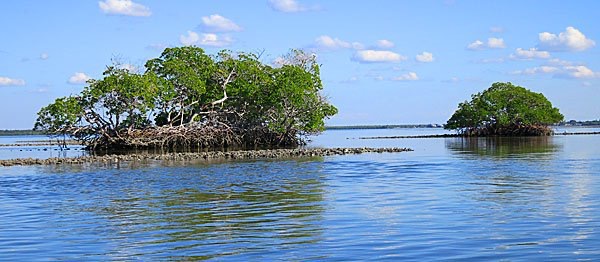
We have all been there, you’re sitting on some fish along a mangrove shoreline or some close by potholes or you even happen to spot a school while just running to another spot. Subsequently, you come back at a later date even as soon as the next day only to discover that there isn’t a fish in sight. This common occurrence is one of the puzzles of fishing the inshore tidal flats. One day the vault opens and finding the fish is easy and the next day everything just seems to shut down. Basically, what it boils down to is that fish hold in lots of different places, but the secret is to figure out when they are actually there. In many cases, it can be the direct result of a time of year transition, or more importantly, on a day to day basis, it can be a direct result of the tidal stage. For example, there is a shoreline that typically holds quite a few redfish on roughly a 1.5 incoming tide.
Just as a review, if you take a look at just about any chart, it provides the depth for many specific particular spots. This depth represents the average annualized low mean tide for that spot. Then, if you take a look at a tide schedule it provides a number which represents the tide stage relevant to this averaged low water chart depth. In addition, there are numerous tide stations in and around the harbor from which information can be referenced. For instance, today at the U.S. 41 Bridge in Punta Gorda, there is a three A.M. low calculated at a .0 relative to the chart depth, (or no variation) and at five P.M. this afternoon there is a high tide that is calculated at a 2.0. In other words, the high tide will be two feet above whatever depth is recorded on the chart. And even though you may not be fishing exactly at the bridge, this still helps indicate just how much water is on the move. Therefore, if you find fish on any given trip, make a note of the location and time. This will help you determine at which tide stage these fish were there for future consideration.
Taking this into consideration and the limited time that most of us have to fish, we need to consider thinking about time management, or when to fish where, for those precious hours that we have on the water. First and foremost, as previously mentioned, begin keeping a log of where and when you see fish. And, if at all possible, try to set your boat up with a GPS system that includes mapping software and tide station information. This tool will provide the data to compile all the necessary information. With the tide table data included within the system you can go to the nearest tide station and it will provide the tidal stage in graph form and even show exactly where the tide is at any given moment. For example, if you are fishing a mangrove shoreline on the east side of Pine Island Sound and you hook into some nice redfish, you can find the tide information for Pineland and the system will provide the exact level of the tide for that moment. In comparison to the paper charts, this information is very useful as it provides the tidal variation at every point in the tide and not just the daily high and low. And of course, with the mapping information, you can mark the spot with the push of a button and you’re on board chart will be set up for future consideration.
Furthermore, if you want help planning a future trip, you can take a look at any tide station for the next day or any day out into the future. For instance, if you find fish on a .8 incoming tide and you want to know when to fish basically the same tide in three days, just set the same tide station for the future date and it will provide the graph and necessary detail.
As always, there are variables such as the wind that will affect the tides of the inshore shallows, but all in all this is a great tool that will help you manage your time and better understand fish movements throughout this large estuary. So, take out a couple of your favorite top water plugs and go exploring. And don’t be afraid to explore some new territory and fish someplace different. I have found some of my favorite spots this way.


Recent Comments