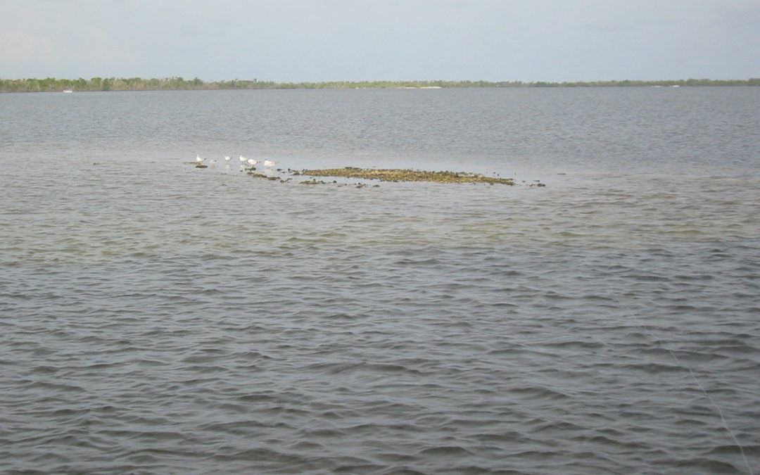
It is pretty much common knowledge that there isn’t a lot of water out there right now. In the past, I have talked about using this time of year to scout some of our favorite areas in order to get a better idea of bottom contour that may not be so easy to sea when water levels come back to what is more or less normal this spring. The point of it all is to locate the types of structure gamefish will relate to and use as a staging area or a feeding station. Keeping this in mind, I thought it might be interesting to take a look at what could be considered structure other than what appears obvious at first glance. It is also important to keep in mind that since the Charlotte Harbor area is basically a shallow water estuary consisting of many inshore tidal flats we are dealing with what are at best minimal or subtle types of structure. Just think of the first time you were told to look for potholes within the sea grass in order to locate fish. How long did it take before you realized these so called potholes were only about six inches deep?
Anyway, when it comes to looking for good spots to fish within this type of environment, try to turn your attention to anything that might stand out or that simply contrasts with the immediate surrounding no matter how insignificant it may appear. Basically, on these shallow flats, just about any sort of bottom variation could represent structure. For example, you could be on a bar structure that consists of intermittently spaced small grass patches and there could be a few slightly larger or thicker patches mixed in that could be good spots to target. In addition, this same bar structure might have spots that are just somewhat deeper and this or even any ridge or down slope running along the bottom could be worth checking out. Conversely, think about what a bar basically is whether it be sand or even oyster. It is a shallower area or spot within a deeper area. Now take this type of bottom structure and think in more subtle terms. In other words, don’t rule out what is basically a slightly shallower area within a little deeper water. This is the habitat these fish have to live in so even as small as these differences may seem, it is all they have to work with.
Of course, we can’t forget the potholes spread out over the many grass flats. In reality, most of these are really sand holes and they come in all shapes and sizes. I can’t even remember all the times I have drifted a grass flat loaded with different size round or oval shaped potholes and at the last minute saw a fish blow out of what was a long prop scar that developed into a sand hole. More or less, the old prop scar was distinctively different to all the other holes and they are usually just the right width for a fish to easily hide. Now, I would definitely rather not see prop scars anywhere, but the point is that I was not expecting to see a fish holding in one of these spots because I was conditioned to look at the more traditional sand holes and if I would have thought about looking for contrasting bottom differences back then I would have been better prepared. So, next time your drifting one of your favorite or a new grass flat, keep an eye out for any slight bottom change.
There is no substitute for time on the water, but there are some new computer programs such as Google Earth that will allow you to zero in on a specific area in order to get a good snap shot of bottom detail. It is a great way to identify cuts, troughs, and holes. Also, remember that anytime you find fish in a spot, try to make a note of the height and movement of the tide. In many cases, fish will tend to hold there again under the same scenario. But if nothing else, just keep in mind that when searching the shallow inshore tidal flats that just about any kind of bottom variation or change can be considered structure.


Recent Comments